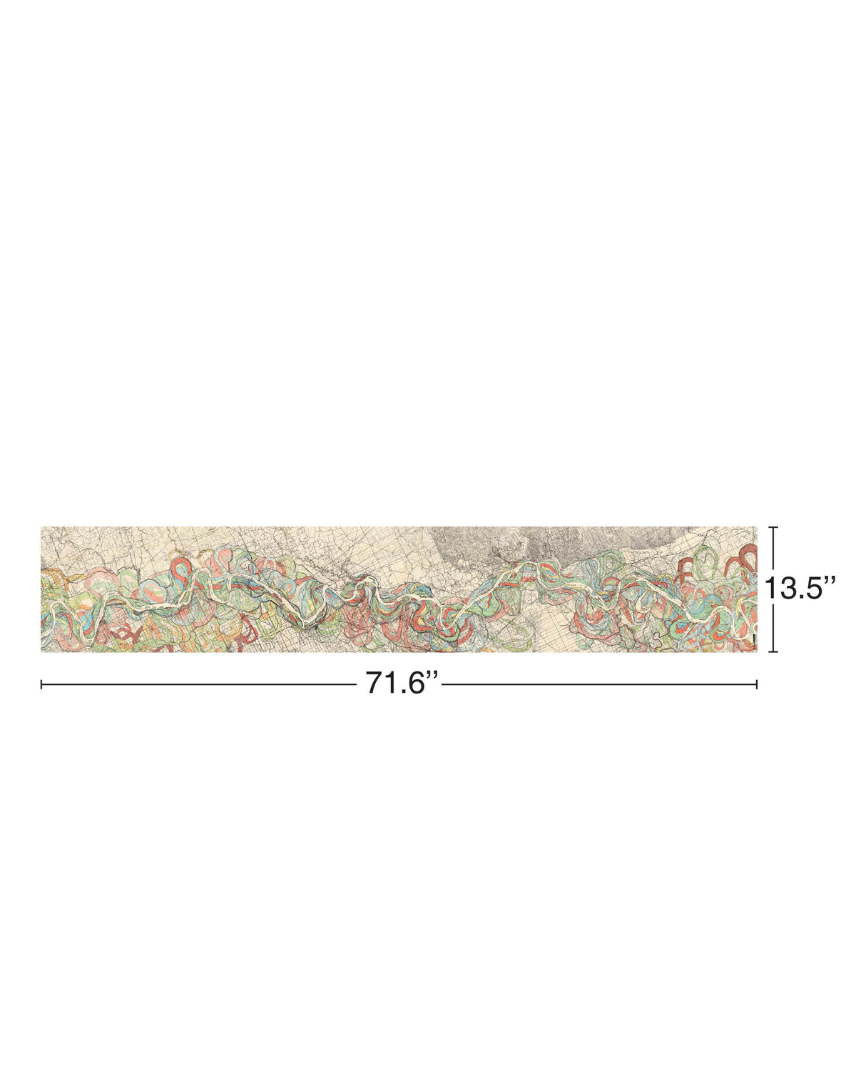
Historic Mississippi River THEN Silk Scarf
Historic Mississippi River THEN Silk Scarf
Couldn't load pickup availability
Designed by: cultureNOW
Origin: India
Material: 100% Silk Habotai
Size: 71.6" x 13.5"
Care Instructions: Dry clean only
Packaging: Provenance about the Mississippi River maps insert included and Wrapped in a plastic bag with a reusable dust bag with hangtag
ABOUT THE Historic Mississippi River Silk SCARF
This scarf illustrates the long, shifting history of the Mississippi River as traced in Harold Fisk’s 1944 maps. Over thousands of years, the river has repeatedly abandoned old channels, carved new ones, and swept across its broad alluvial valley. Each color represents a former course, oxbows, cutoffs, and looping meanders that once carried the main flow. The 15 panels reveal the Mississippi not as a fixed line on a map but as a dynamic, ever-moving system shaped by sediment, floods, and time. Each panel captures a moment in this ongoing process, with the full composition showing the layered memory of a river that is always in motion.
ABOUT THE Mississippi River Map Insert
The Mississippi River Meander Belt Maps, created in 1944 by geologist and cartographer Harold N. Fisk for the U.S. Army Corps of Engineers, are a landmark visual record of how the Mississippi River has shifted across its valley over thousands of years. Using layered colors and sweeping geomorphic patterns, Fisk traced former channels, oxbows, point bars, and floodplain deposits to reveal the river’s long history of movement, instability, and renewal. What began as a technical study for flood-control planning became one of the most celebrated works of scientific cartography in the United States, combining rigorous geology with a striking, almost abstract visual language.
Fisk’s analysis drew on aerial photography, sediment cores, and field surveys to reconstruct the river’s ancient paths. Each color on the maps represents a different era of channel migration, showing how the Mississippi has repeatedly abandoned old courses and carved new ones. Shown here are 7 of the original 15 sheets, each capturing a different reach of the river. The sheets illustrate a river system that is never fixed, continually reshaping its own valley through erosion, deposition, and the force of seasonal floods.
Harold Norman Fisk (1908–1964) was a leading American geomorphologist whose work helped define modern understanding of river behavior. Educated at the University of Oregon and the University of Cincinnati, and long associated with Louisiana State University, Fisk specialized in the geology of the lower Mississippi Valley. His 1944 report, Geological Investigation of the Alluvial Valley of the Lower Mississippi River, remains foundational in river science, influencin decades of engineering, environmental management, and academic research.
Share