Historic Washington DC THEN Silk Scarf
Historic Washington DC THEN Silk Scarf
Couldn't load pickup availability
Designed by: cultureNOW
Origin: India
Material: 100% Silk Habotai
Size: 39.4" x 39.4"
Care Instructions: Dry clean only
Packaging: Provenance about the Washington DC maps insert included and Wrapped in a plastic bag with a reusable dust bag with hangtag
ABOUT THE Historic Washington DC Silk SCARF
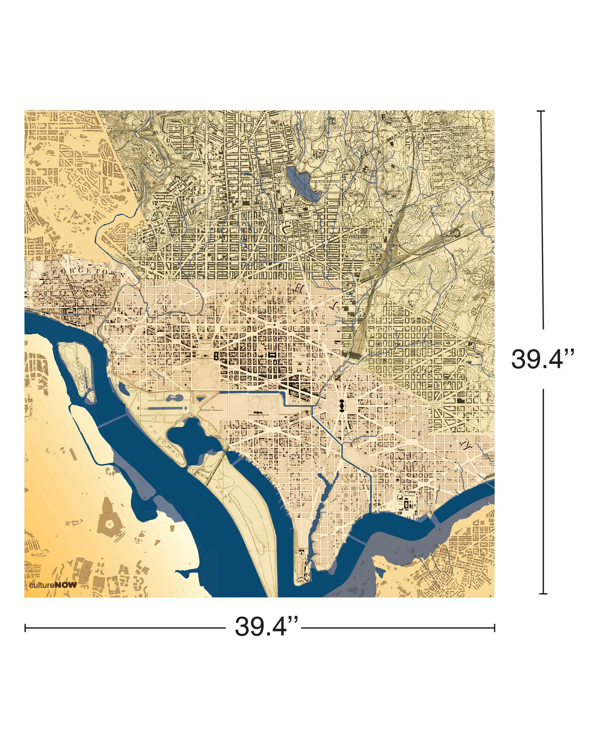
The scarf overlays the iconic historical maps that have defined this city. Planned by Pierre L’Enfant in 1790. Reid, Wayland, and Smith’s 1795 Plan of the City of Washington in the Territory of Columbia shows the initial construction. The next topographic map was drawn in 1861 by A. Boschke and showed Washington as it looked before the Civil War. By 1915, the USGS map of the city shows that most of the downtown had been built out. The last is the current 2026 GIS data map. Illustrated in shades of blue which shows the original streams, swamps, and riverbank along the Potomac that were filled in to create the land.
ABOUT THE Washington DC Map Insert
The map is a print of the iconic historical maps that have defined this city. Planned by Pierre L’Enfant in 1790. Reid, Wayland, and Smith’s 1795 Plan of the City of Washington in the Territory of Columbia shows the initial construction. The next topographic map was drawn in 1861 by A. Boschke and showed Washington as it looked before the Civil War. By 1915, the USGS map of the city shows that most of the downtown had been built out. The last is the current 2026 GIS data map. Illustrated in shades of blue which shows the original streams, swamps, and riverbank along the Potomac that were filled in to create the land.
Share